Project Inambari


📍United States
Early alert system for tropical forest mining
An open mapping platform that uses publicly available SAR (Synthetic Aperture Radar) satellite imagery in combination with other data sources for detecting mining affected lands in tropical forests.

SkyTruth team


Bjorn Bergman - Houston, Texas, US
Christian Thomas - Shepherdstown, West Virginia, US
Dan Cogswell - Shepherdstown, West Virginia, US
John Amos - Santa Fe, New Mexico, US
Alice Foster - Boston, Massachusetts, US
Ryan Covington - Milwaukee, Wisconsin, US
Amy Mathews - Santa Fe, New Mexico, US
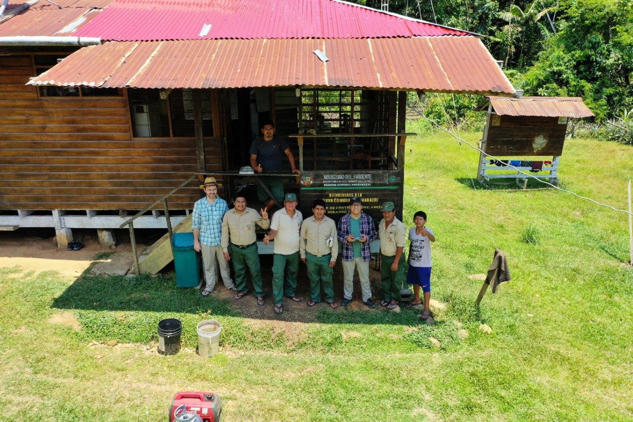
Jorge Caballero - CINCIA, Puerto Maldonado, Peru
Miles Silman - Wake Forest University, North Carolina, US
Paúl Pauca - Wake Forest University, North Carolina, US
Sarra Alqahtani - Wake Forest University, North Carolina, US
Pitch Presentation
Reason for applying
“Our public mapping platform will put the best available information on unregulated small scale mining in tropical forests, into the hands of the local communities most affected. The platform will also provide an essential tool for government regulators and groups advocating for conservation.
Unregulated mining operations have been catastrophic to large areas of the Amazon and other tropical forest areas worldwide. Tens of thousands of informal miners are drawn into exploitative labor conditions even as they inflict sometimes permanent damage to a fragile ecosystem and make it impossible for neighboring communities to pursue other sustainable sources of income.
Recognizing the toxic mix of organized criminal activity and short term environmental exploitation associated with informal mining in the Amazon, some countries like Peru have launched major operations to try to shut down mining operations. We know from experience that successful and sustained interventions depend on making accurate and timely information available both to the government and to the concerned public.
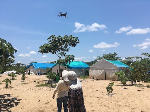
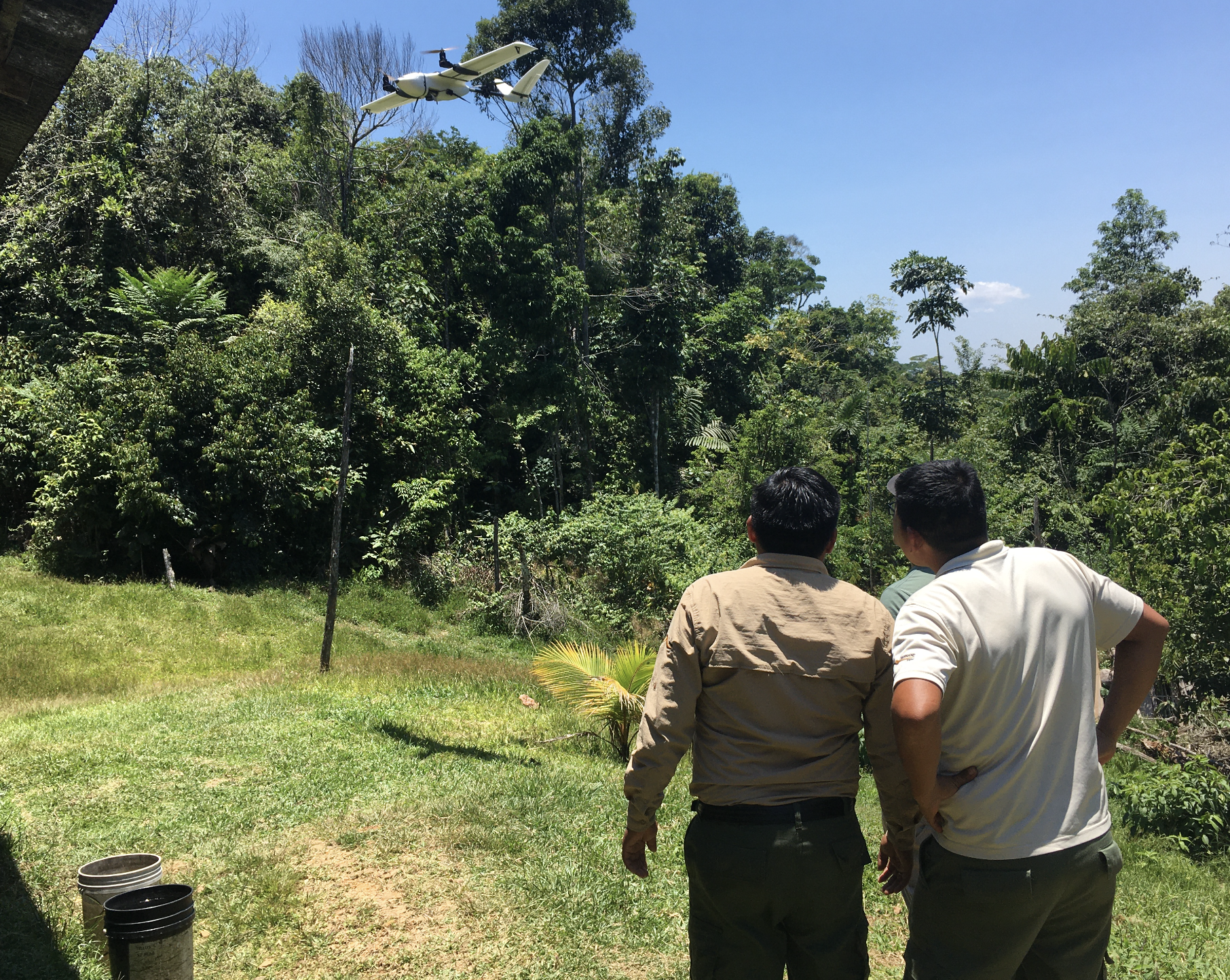
With Project Inambari we are developing a mining detection model primarily based on a novel source of open source imagery, satellite radar from European Space Agency’s Sentinel-1 satellites. Partnership with local researchers in Peru through Wake Forest University’s Center for Amazonian Scientific Innovation (CINCIA) will bring in high resolution drone imagery to support development and validation of our detection model along with input from regulators working on the ground. Our new map platform based on frequent and cloud penetrating imagery has the potential to provide a continuous stream of input data for detecting and monitoring mining operations in critical tropical forest environments, alerting communities, governments, and conservation groups working to protect tropical forests.”